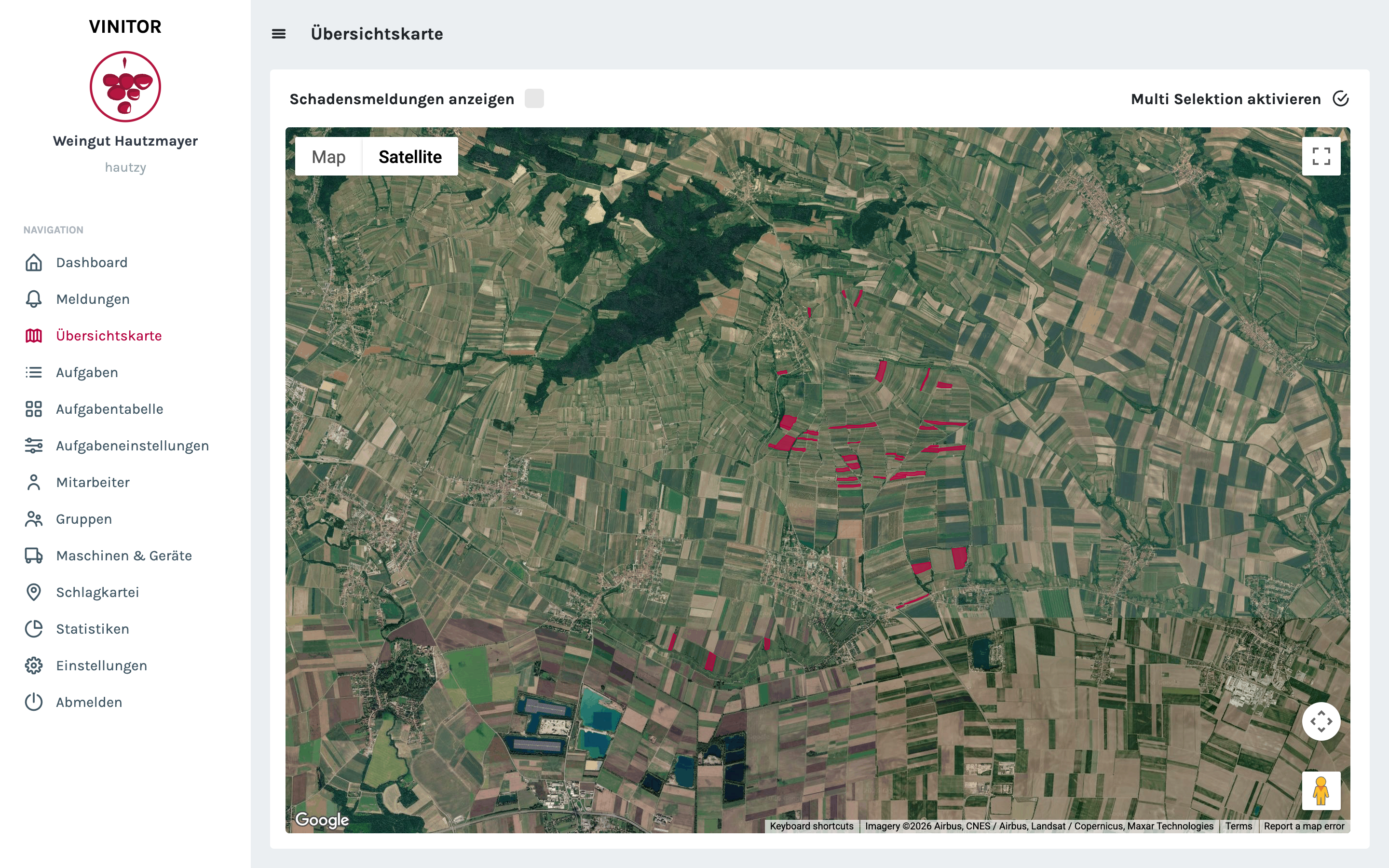
The GPS path calculation is the heart of automatic time tracking. The original implementation had weaknesses: inaccurate positions led to wrong assignments, and with many vineyards close together there were mix-ups.
The complete rebuild solves these problems. The new calculation filters out outlier positions — individual GPS points that are obviously wrong (e.g. in the middle of a lake). The intersection method for vineyard assignment has been fundamentally reworked and delivers considerably more accurate results — especially in densely adjacent Rieds (named vineyard sites) such as here in the Kamptal.
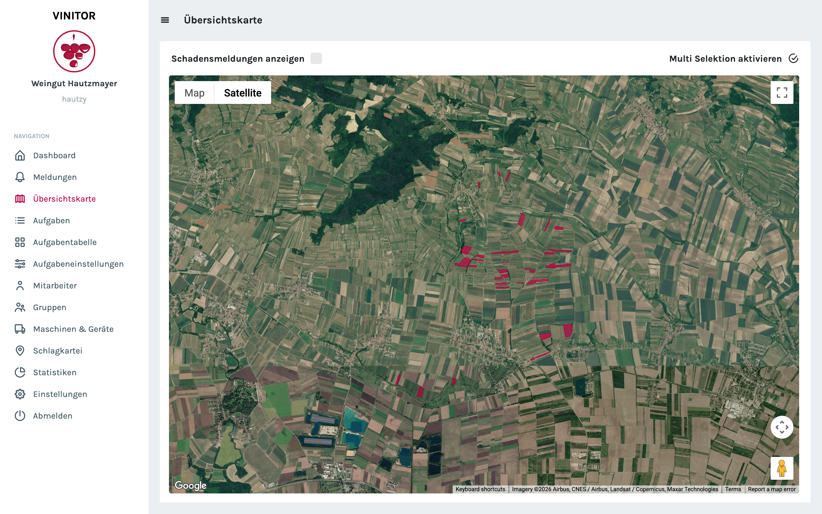
The eAMA import now supports an append strategy: new data is supplemented onto existing data instead of overwriting it. This is important for businesses that update their eAMA data regularly without losing manual additions in the process.
Plant protection products can now also be imported from XLS files — the format in which many authorities provide their product lists.
✨ Improvements
- Complete rebuild of the GPS path calculation — more accurate vineyard assignment
- Outlier positions are detected and filtered out
- eAMA import with an append strategy — new data supplements rather than overwrites
- Task workflow reworked — clearer status transitions
- Plant protection import from XLS files
- Daily tracking time per task retrievable
- Equipment statistics with cost analysis